LEARN
VEGETATION COMMUNITIES of Sonoma County
Sonoma County has a stunning diversity of landscapes, sometimes called plant communities, habitats, or ecosystems. Our summary aims to simplify Sonoma’s vast array of vegetation communities.

Grassland
Open areas where grasses and other non-woody plants predominate. Trees or shrubs may be present but they stand well apart from each other–canopies cover less than 10% of the area. Before European contact, most Sonoma County grasslands were comprised of perennial bunchgrasses and non-woody herbs and flowers. Today, most have been overrun by non-native, short-lived (annual) grasses. In many grasslands, shrubs such as coyote brush and manzanita are encroaching due to the absence of fire, grazing, or other active stewardship. Without intervention, some grasslands will convert to shrubland or forest over time.
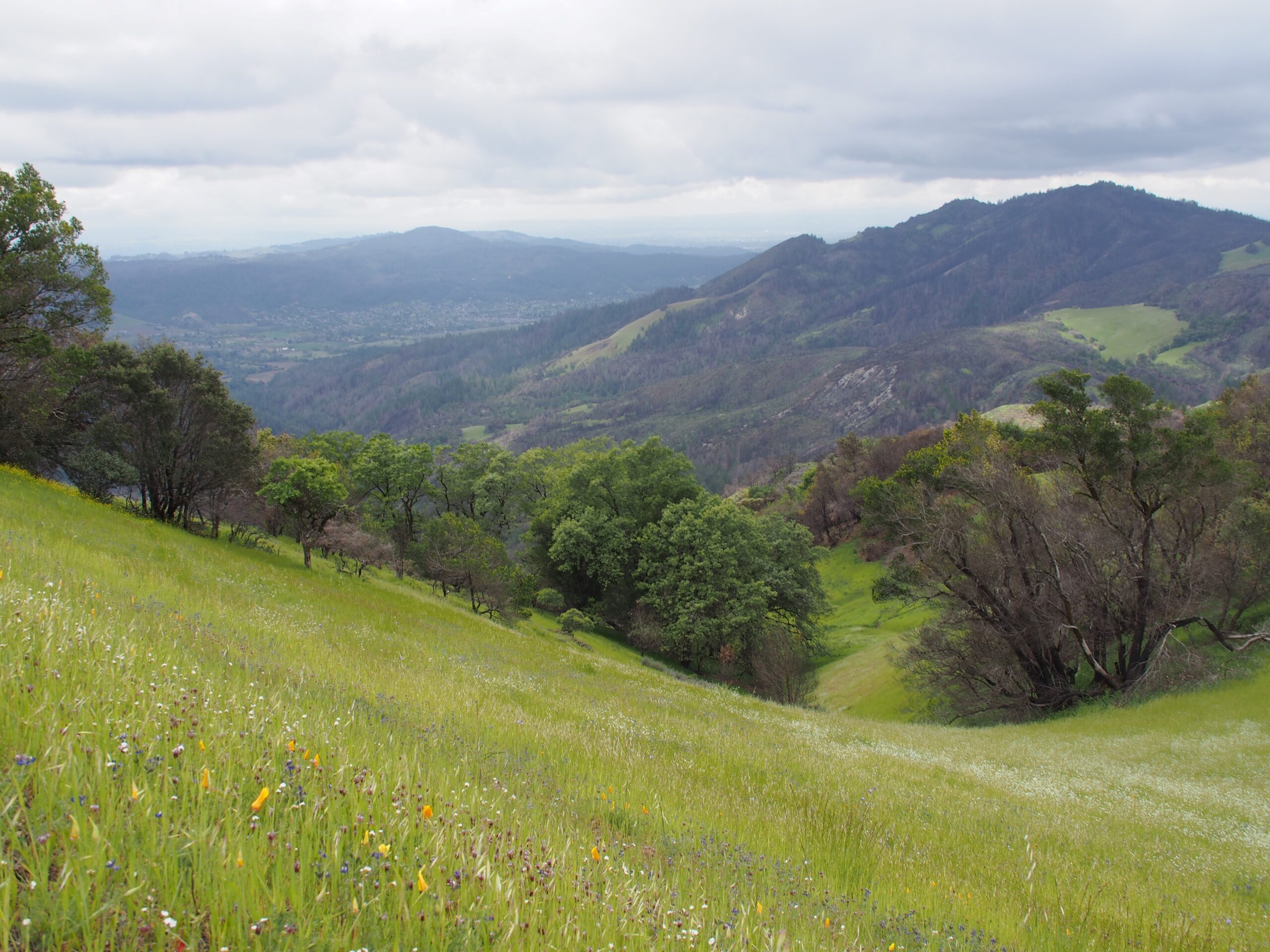
A grassland with adjacent Oak Woodland in the background at Sugarloaf Ridge State Park. Photo Credit: Sonoma Ecology Center.
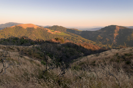
Chaparral landscape at Sugarloaf Ridge State Park. Photo: Kristen Russell.
Transitions between vegetation communities tend to host the highest numbers of diverse plants and wildlife.
Shrubland (also called chaparral)
Vegetation dominated by woody plants such as manzanita, chamise, coyote brush, or shrubby oak species that are less than 10 feet tall and have multiple stems or trunks. Common examples in Sonoma County are chaparral and coastal scrub. Shrublands often maintain themselves without active stewardship, but in some soils, they will convert to forest if fire is absent long enough. Chaparral is often located on difficult soils with hot exposures, and therefore grows quite slowly.
Forest
Tree-dominated areas composed of an overstory of trees and an understory of shrubs and non-woody plants. The tree canopy can cover 10% to 100% of the area.
Sonoma County has a marvelous diversity of forest types. From least dense to most dense, these include:
- Oak savanna, where there are large grassy areas between trees.
- Oak woodlands, where the canopies of the trees may touch but not overlap, creating partial or dappled shade which allows understory plants to grow. Many less-dense forest types, over long periods of time without disturbance, will convert to denser forest types.
- Mixed hardwood forests, with combinations of oaks, California bay, California buckeye, madrone, Douglas fir, and other species.
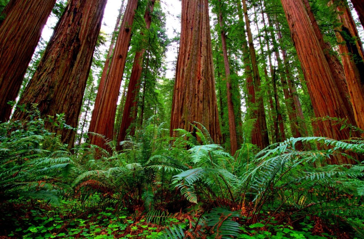
- Dense forests, which can block most sunlight from reaching the ground. Dense forests tend to have sparse understories and low biodiversity. They often persist without active stewardship. Examples include California bay laurel forest, coast redwood forest, and coast live oak forest.
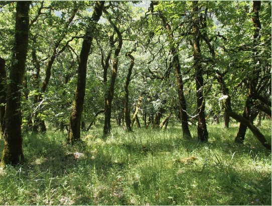
For a wonderful introduction to oak woodlands and forests, see Secrets of the Oak Woodlands by Kate Marianchild. Read about how oak woodlands support the food web, in Oak Woodland Invertebrates: The Little Things Count by UCCE.
Sonoma County’s serpentine soils host an abundance of unusual plants. Learn more in this profile of The Cedars in northeast Sonoma County.
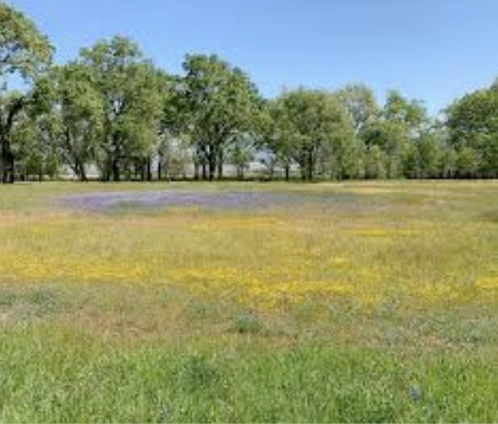
Photo: Jim Coleman, courtesy of Laguna de Santa Rosa Foundation.
Wetland
Areas where standing water in all or part of the year supports specialized vegetation, soils, and fauna. Wetlands are critical links in the earth’s cycling of water. Many rare species rely on wetlands to survive. Many laws protect wetlands, and work must proceed cautiously and with professional advice. Wetlands are particularly susceptible to invasive plants and animals.
Riparian
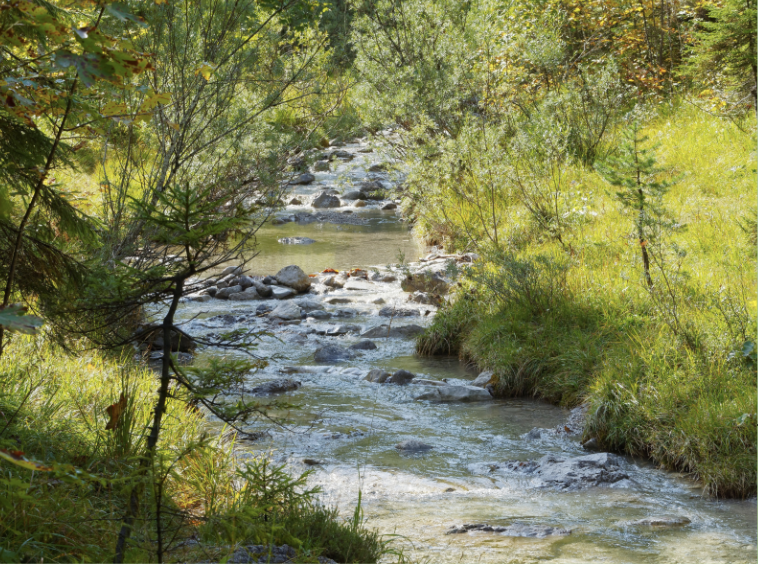
Ribbons of land found along the sides of waterways of any kind. Riparian areas have higher biodiversity, with many unique species, and increased productivity (in tons of biomass produced each year), compared to other vegetation communities. Riparian corridors offer vital ecosystem services and are protected by many regulations and laws.
Additional Resources:
- To explore Sonoma County’s vegetation communities and the biodiversity they support, see the Biodiversity Action Plan for Sonoma County and the book Wild Sonoma.
- View or download detailed posters of plant communities from the Sonoma Veg Map.
- View or download a detailed map of wetlands and riparian areas from the Sonoma Veg Map.
- Be aware that different authors or funding sources have their own habitat definitions. See, for example, the federal EQIP funding program’s definitions.

